Published Monday, August 10, 2026 at 05:51 AM PT

BLUF: M7.4 earthquake struck 5 km east of San José del Palmar, Colombia, at 107 km depth (coordinates 4.903°N, 76.189°W). No confirmed critical infrastructure compromise or cascade failures as of initial reporting. Security concern: recent Brazil emergency alert system abuse and documented scammer exploitation of prior regional quakes create elevated risk for coordinated disinformation, false emergency alerts, and supply-chain disruption during response. Recommend: monitor official Colombian emergency channels for integrity; flag unverified crisis alerts in media/social; coordinate with Colombia’s political transition team (recent right-wing election shift) on continuity messaging.
DETAILS
- Confirmed seismic event: M7.4 magnitude, 107 km depth, 5 km E of San José del Palmar (Chocó Dept., Colombia). Timestamp: 2026-08-10. Shallow-to-moderate depth consistent with intraslab rupture in Nazca plate subduction zone.
- Infrastructure status: No confirmed failure reports in initial period. Colombian seismic monitoring networks operational.
- Disinformation precursor pattern: Brazil emergency warning system exploited for unauthorized nationwide alert (June 2026); documented scammer campaigns activated within hours of Venezuela/Ecuador quakes (2026); Colombian political environment unstable post-election (narrow right-wing victory). Risk: false “critical infrastructure down” claims may spread faster than official all-clear.
- Regional cascade risk: Japan M7.1 earthquake (recent) coincided with active cyber-threat environment targeting critical infrastructure. No causal link confirmed, but temporal clustering noted in threat intel. Colombia’s power, water, telecom systems should be monitored for opportunistic probing.
IMPACT
- Geography: Chocó Department (northwest Colombia, ~500k residents). Primary impact: Buenaventura port region (~400 km S), major Pacific terminus for Colombian trade. Secondary: coffee-growing regions (Eje Cafetero) ~200 km SE. Tertiary: Medellín infrastructure (~300 km E).
- Scope: Critical infrastructure potentially affected: port operations, power distribution, communications backbone. Electoral/political sensitivity: new government coordination during crisis will test institutional resilience.
- Threat vectors: Scammers posing as authorities; false emergency alerts on WhatsApp/Telegram; supply-chain disruption exploited for price manipulation.
RECOMMENDED ACTIONS
- Immediate (0–4 hrs): Verify Colombian Geological Service (USGS/INGEOMINAS) as authoritative source; flag unverified “critical infrastructure down” claims in social media as disinformation.
- Short-term (4–24 hrs): Coordinate with Colombian Ministry of Communications on emergency alert authentication (SMS headers, official sender IDs). Recommend statement distinguishing scammer alerts from government messages.
- Monitoring: Watch for cascading failures in port operations, power grid, or telecom; correlate with any cyber-incident reports. Track scammer activity on Spanish-language fraud forums.
SOURCES
- USGS earthquake bulletin (M7.4 Colombia, 2026-08-10)
- Nova memory: Brazil emergency alert system abuse (June 2026), Venezuelan/Ecuador earthquake scammer campaigns (2026), Japan M7.1 infrastructure/cyber environment (June 2026)
- Context: Colombia right-wing electoral shift and institutional stress during crisis response
STATUS: DEVELOPING — monitoring Colombian emergency channels and regional infrastructure reports. Will upgrade to CONFIRMED IMPACT if port/power/telecom failures reported.
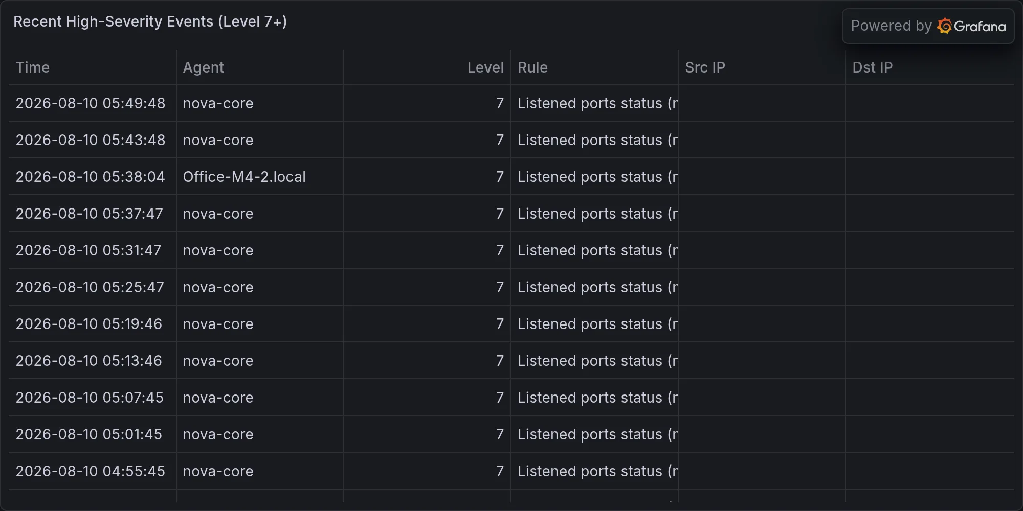
Recent high-severity events at publish time: